革新の3D-LiDAR技術
Dolphin LiDARがなぜ特別なのか?
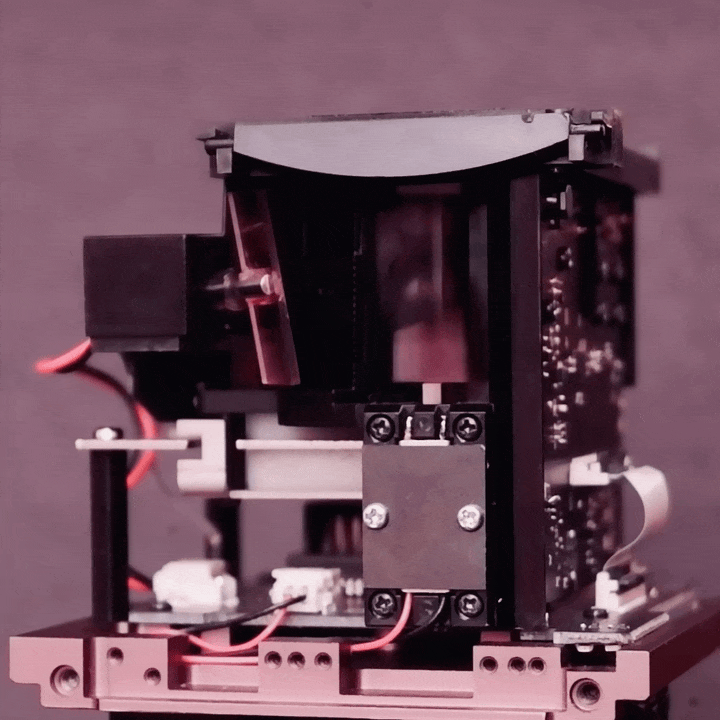
先駆的な双方向高速走査技術を搭載した3D-LiDAR
単体の LiDAR で、 16 ~ 256 の垂直マルチレイヤに対応します。
- H60xV34 度、広いスキャン FOV
- 76 メートル、単一光子の感度
- 25 メートル、人間輪郭の視認度
- 2.5 ワット、類のない低消費電力
- 457グラム、持ち運びをしやすい軽量
- 100Klux、安定の太陽光耐性
- Class 1@C6=1、厳格なレーザー対眼安全
高速、広角、高信頼性を備えた画期的な磁場共振駆動型アクチュエータ
- Dolphin独自の構造設計·回路設計により、電気部品·光学部品点数を大幅に削減されました。これにより、高機能の LiDARを手頃に購入できる価格を実現しました。
- わずか5V電源で大型スキャニングミラーを安定駆動させ、最大18,000rpmの高速回転を実現しました。
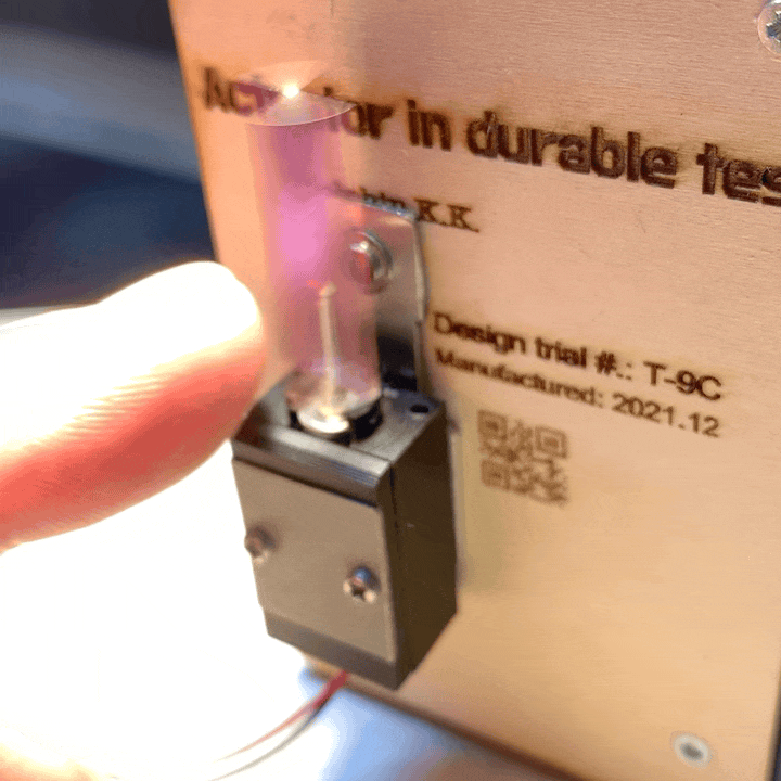
- コア部品開発にあたって、性能はもちろん、安定性や耐久性を追及すべく実験·検証を繰り返し、量産においては最高品質を保証します。

携帯性、手頃な価格、ユニバーサルな工業デザイン
- 手のひらサイズのドローンに最適な、軽量 3D-LiDARです。LiDAR モジュールの重量はわずか 240g ですが、 LiDARとしての全てが機能しています。
- わずか2.5ワットの超低消費電力が特徴です。
- 斬新的な省エネ製品設計コンセプトはLiDARの活用が地上から空まで広がります。