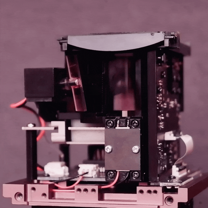
跳至产品信息
1 / 1

Dolphin D5 Lite

Dolphin D5 Lite

常规价格 $699.00
常规价格 促销价 $699.00
促销 售罄

订单处理约 30 天

  • 76米的远距精准测距
  • 60度的广角扫描
  • 457g的手持轻量
  • USB3.1驱动的超低功耗
  • 高可信度的人眼安全基准

也可点击此处前往雅虎购物

查看完整详细信息

革新的激光雷达技术

度逢的 3D激光雷达 是世界上第一个由 USB3.1 可供电的长距激光雷达设备,基于创新的磁场共振驱动的振镜扫描组件,我们以极低的功耗提供了水高速广角扫描性能,整机功耗仅为 2.5 瓦。

我们的3D激光雷达遵守严格的激光人眼安全标准和耐100Klux日照的室外工作稳定性。仅5V电源,18,000rpm高速水平扫描速率,仅重457g,我们的产品优势,将3D环境感知从地面延伸到天空。

度逢为何如此特别?

首创的双向高速扫描技术

单机实现16-256层的扫描柔性。

  • H60度xV34度,广角扫描视野
  • 76米,单光子的探测灵敏度
  • 25米,人体轮廓可识别
  • 2.5瓦,超低功耗
  • 457克,手持轻量性
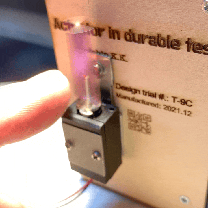
  • Class I@C6=1,最值得信赖的激光人眼安全
  • 100Klux,超强抗日照干扰能力

最前沿的磁场共振驱动振镜、超大角度及高可靠性:

  • 超大扫描角度的突破,将电子和光学元件的数量大幅减少仅至1%,开创了高分辨率激光雷达成为个人产品。
  • 只需5V电源即可稳定驱动大型扫描振镜,振动速率高达18,000rpm。
  • 从概念验证到制造,我们参与产品研发中的每一个细节,确保批量生产的最高品质。
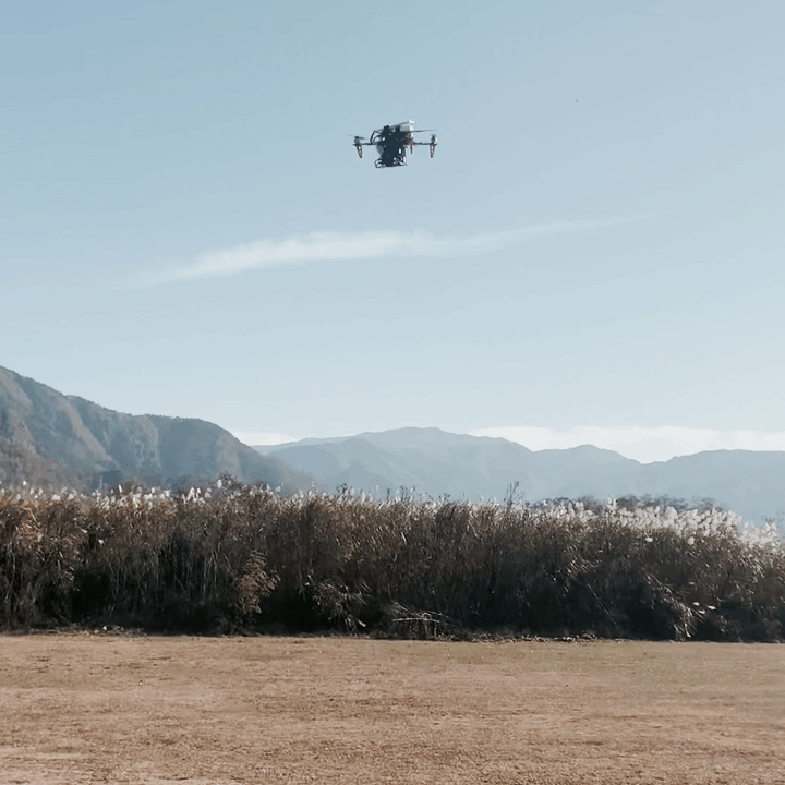
便携性、经济性和通用工业设计:

  • 推出真正的轻量级 3D激光雷达,适合手掌大小的无人机使用,核心模组重量仅为 240 克,却支持3D-LiDAR的全部功能。
  • 仅 2.5 瓦的超低功耗。
  • 我们的节能设计理念,架起了空间环境的数据孪生从地面扩展到天空,释放空间计算载体的无限想象力。

度逢的产品优势

突出规格

Distance Range:

Up to 76m

Imaging Quality:

Up to 25m(Human Outline)

Scan FOV (Degree):

H60XV34

Vertical Layers:

Adjustable Layers from 16-256

Scanning Frame Rate:

2.8-12Hz Adjustable

Depth Resolution:

Typically, 1cm

Measurement Accuracy:

Typ.15cm

Anti-Ambient Light:

100Klux

Power Consumption:

Typ. 2.5W

Product Size:

H88.1xW79.5xD120.0mm

Weight:

457g

常见问题解答

Q:点云图中的颜色代表什么?

A:点云图中的颜色代表了物体上不同点的距离信息。

Q:D5 Lite支持强度信息吗?

A:D5 Lite不支持强度信息。

Q:与其他激光雷达设备相比,为什么它更适合消费类应用?

A:D5 Lite更适合消费类应用,因为为了人眼的安全,它采用了最严格的参数等级1@c6=1。

Q:D5 Lite输出的点云数据有什么格式?

答:当然可以。保存的文件格式可以从.PLY、.STL 和.XYZ 中选择。

Customer Reviews

Based on 2 reviews
100%
(2)
0%
(0)
0%
(0)
0%
(0)
0%
(0)
M
Michael
Replying to J Dunbar

Almost all CAD applications support import of industry standard pointcloud formats. Since this D5 unit is outputting some of these (stl & xyz) then yea it is expected that you should have no problems with importing a point cloud into your cad app.

The part where you build the structure in 3d or 2d or 2d/3d hybrid and make floor plans is of coarse something you will have to do yourself in your car app, referencing the pointcloud data that you import from your D5.

Keep in mind that this device (which looks awesome and I’m going to purchase soon) probably doesn’t have advanced features of very expensive scanners like GPS and tagging, so you will have to manually combine your point clouds if you have multiple scans.

And again, point clouds are not models, they are coordinates (data) which you can use as a visual reference to model/draw the environment that you scanned.

Hope that helps.

J
J. DUNBAR
CAD

Hi, can I convert this to CAD for indoor floor plans?